Portable digital map tables
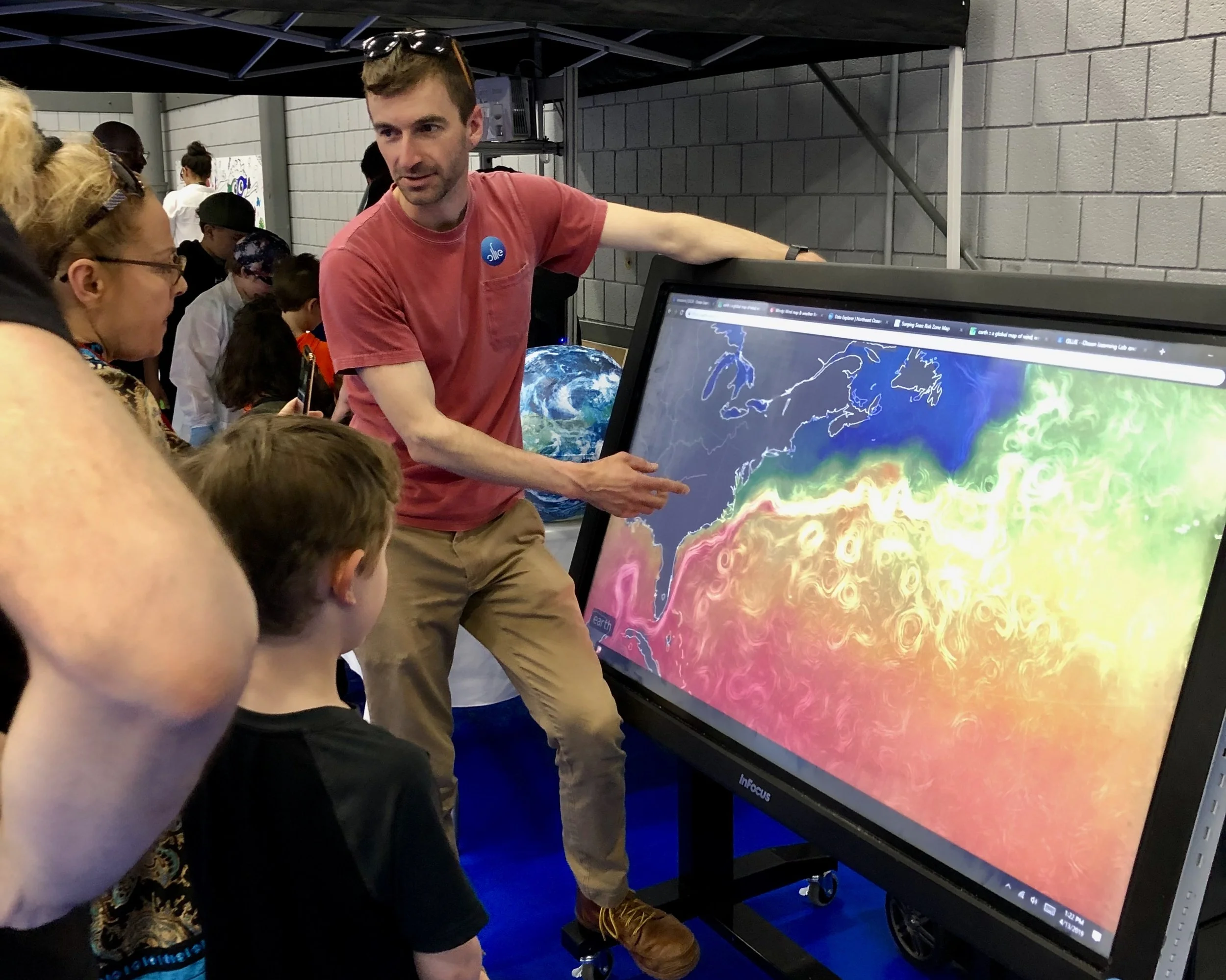
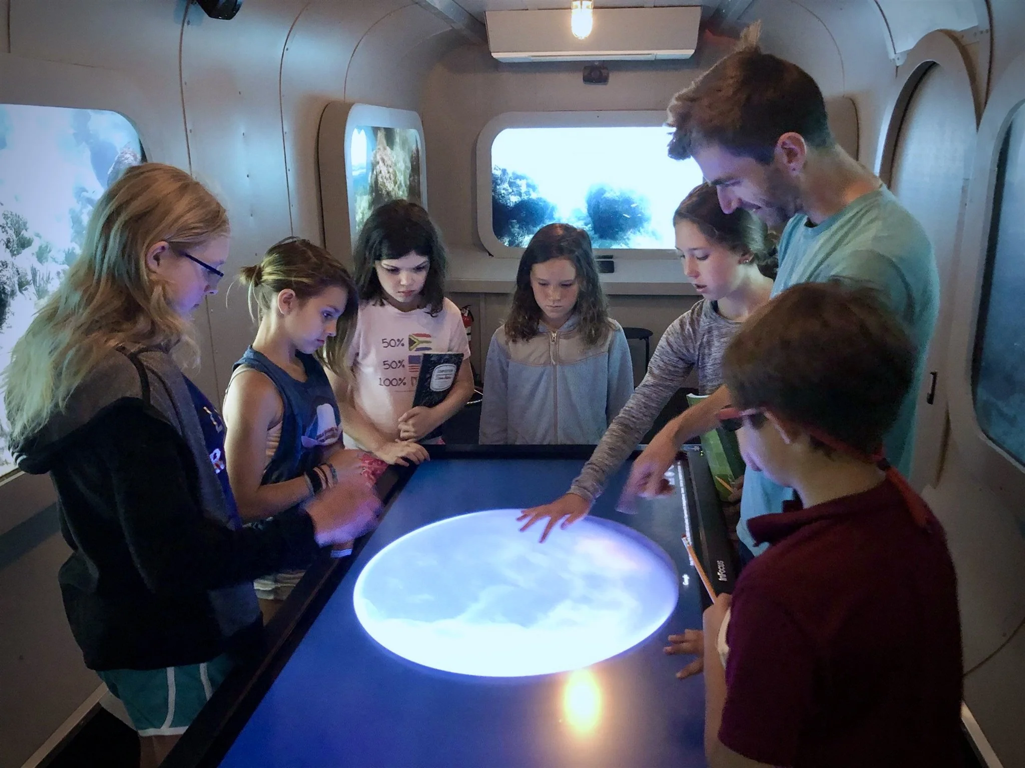
Large interactive displays for showcasing maps and ocean and climate data. Designed to accompany the Virtual Submarine or be transported and set up independently.
Version 1
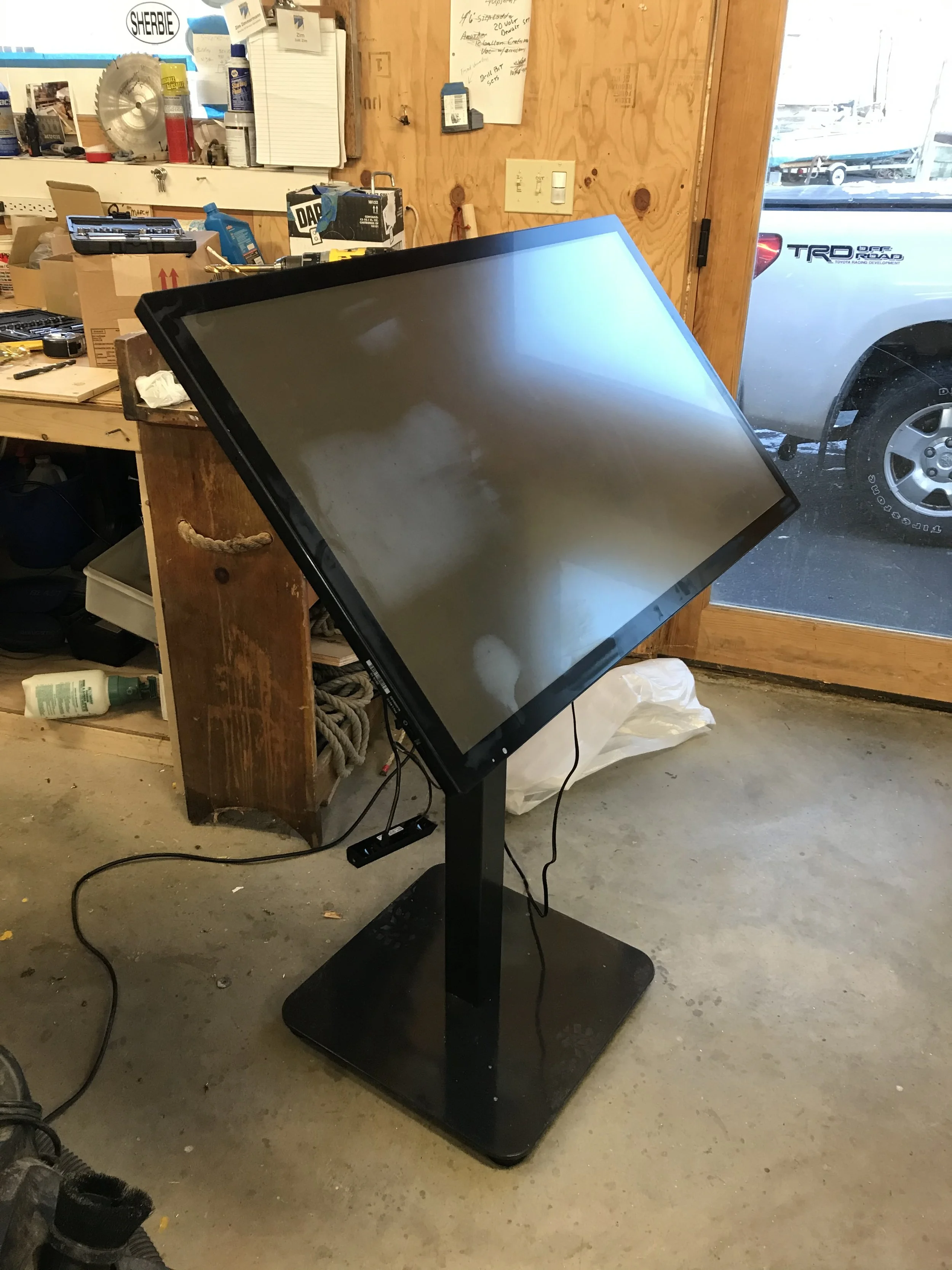
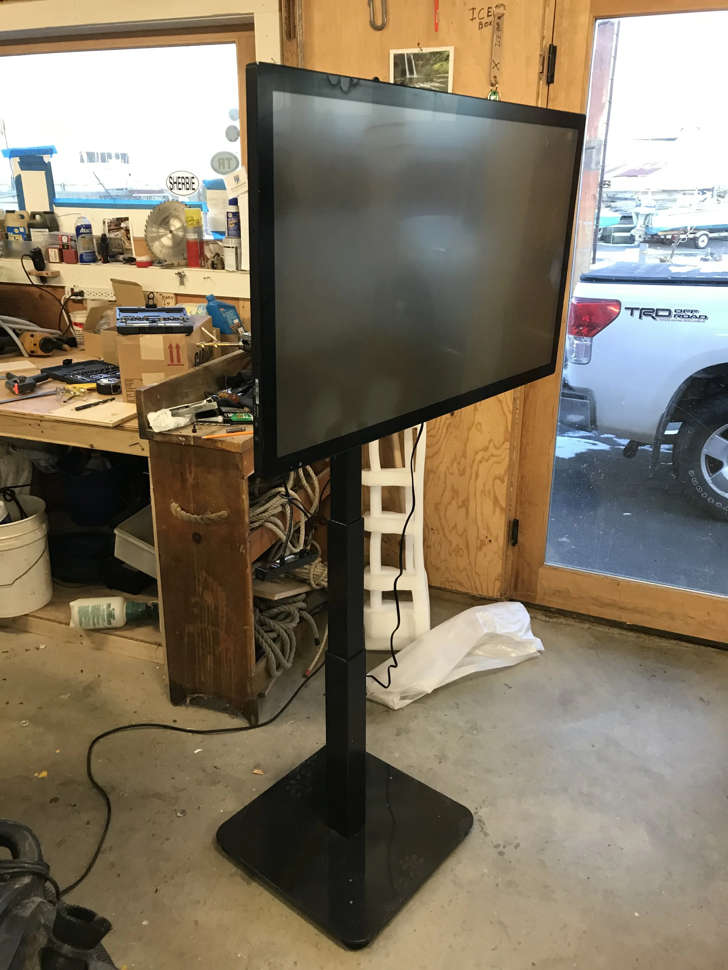
Version 1 was based on a 55” integrated touchscreen computer, which was mounted to a rolling, adjustable-height frame by pivoting brackets on a pipe, allowing the screen to be horizontal as a shared exploration device, vertical for presentations, or any angle in between. Height adjustment was with a manual crank, and angle adjustment required tools.
Version 2
Version 2 was a smaller, 40” touchscreen, mounted on hinges to an electrically adjustable-height stand. This version had a greater range of heights (lower to accommodate shorter and seated users, and higher for greater presentation visibility) and did not require tools to adjust the height or angle.


